ESRI’s MOOC Going Spatial: Week 2
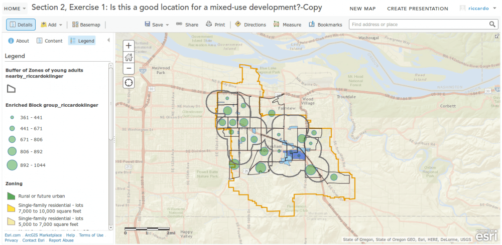
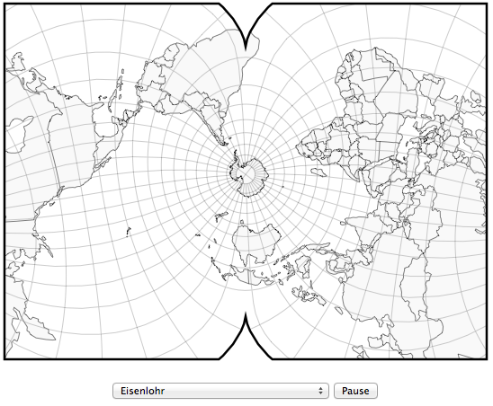
This week ESRI will come to the real analysis of spatial data. You will get an insight into the connection between “research question” and projection, why is Mercator…


Okay let’s be honest: I don’t have any idea of what D3 is capable off (we got Ralf for this crazy rocket science) but what Geoawesomeness posted today…
GDAL Geotransforms and World Files The last post in this series considered how to write a geospatially aware file, in that case a Geotiff. In the example the…
We will go straight to the main part of the problem:how to communicate, where you are. Sometimes it is as easy as “one, two, three” but most likely…