Combinig QGIS and leaflet to visualize an area with pictures
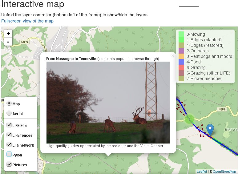
The goal of this post is to explain, based on practical examples from my professional activities, how I use QGIS, its plugin photo2Shape and the processing toolbox, together…
The goal of this post is to explain, based on practical examples from my professional activities, how I use QGIS, its plugin photo2Shape and the processing toolbox, together…