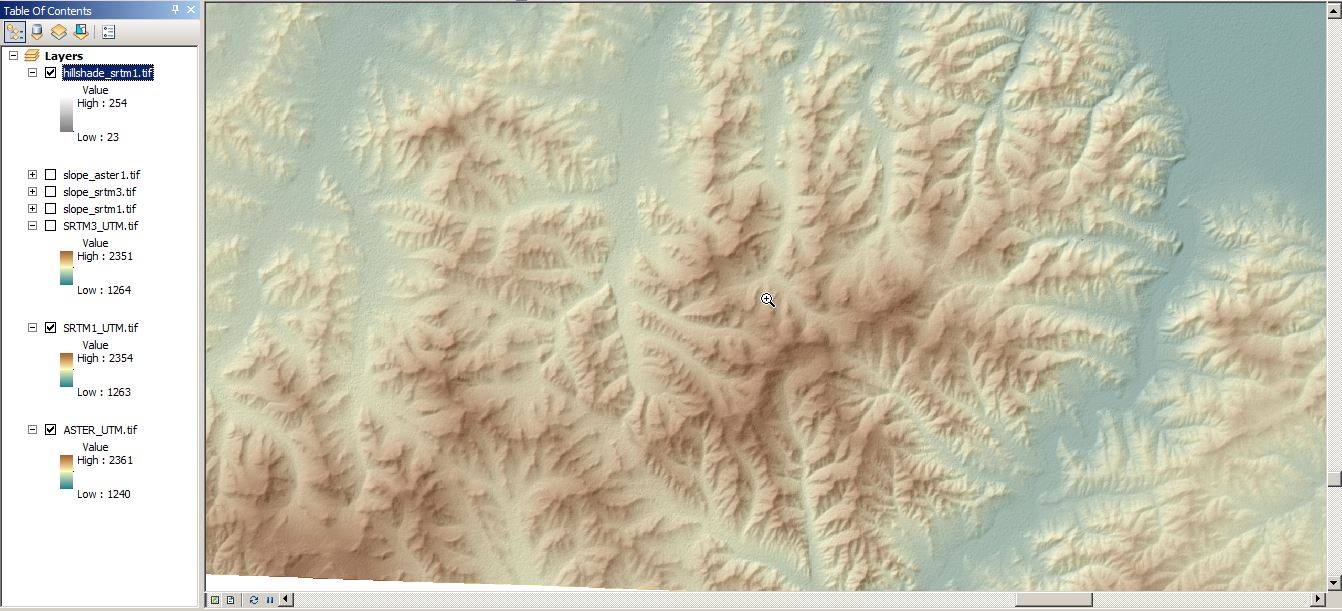
Well, I was expecting this. Damn, those new SRTM1 raster files provided via EarthExplorer by the USGS are sweet. You can download them right away just by creating an account on EarthExplorer and you can get worldwide coverage except the middle East (political reasons?). How is the data quality? Some short insights:
We use cookies to ensure that we give you the best experience on our website. If you continue to use this site we will assume that you are happy with it.Ok