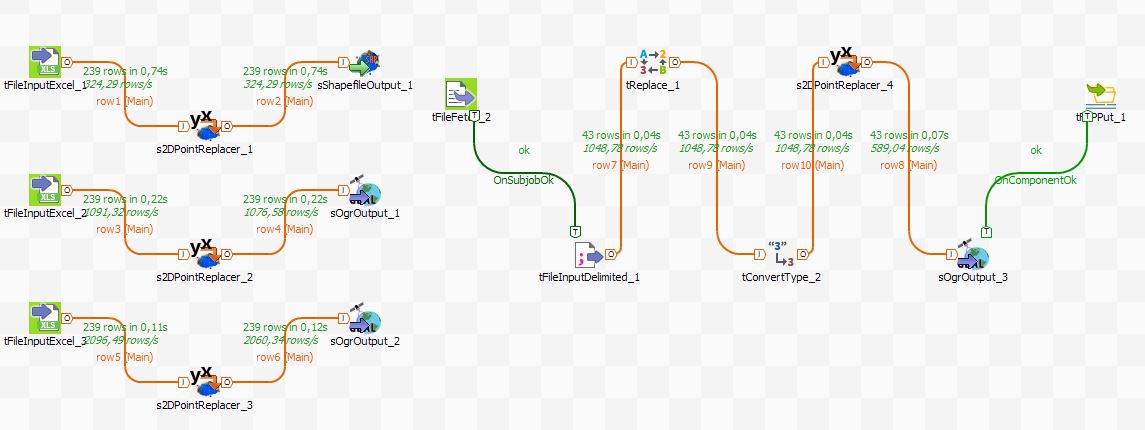
FME and Talend: ETL tools for your spatial data Spatial data has some formats most of you know (shapefile, geoJSON, TiFF,…). But there is always a wide variety not only in available and used file formats but… Post author By Riccardo
ArcGIS Earth When I visited university (I have t admit, this was some years ago 😉 ) I was told ArcGIS cannot “do” 3D. This was the part where CAD… Post author By Riccardo