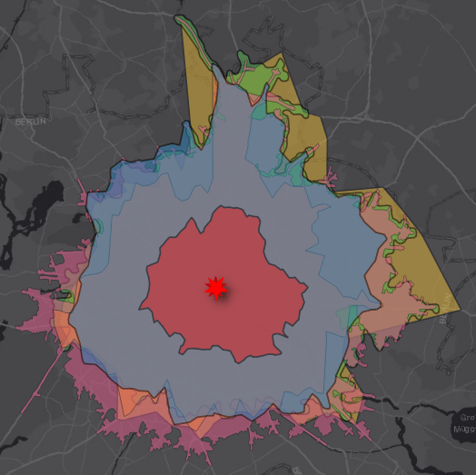
In the past I was working on different plugins to connect with multiple APIs and use their isochrone endpoints in QGIS. Let me summarize some of my findings…
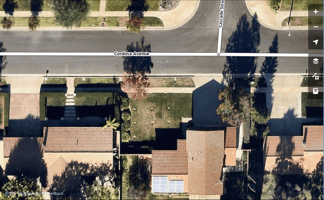
If you digitize features for OpenStreetMap you might have used Landsat data or the Bing basemap. Now we do have one other source for our armchair mapping approach:…