How many people live in this area?
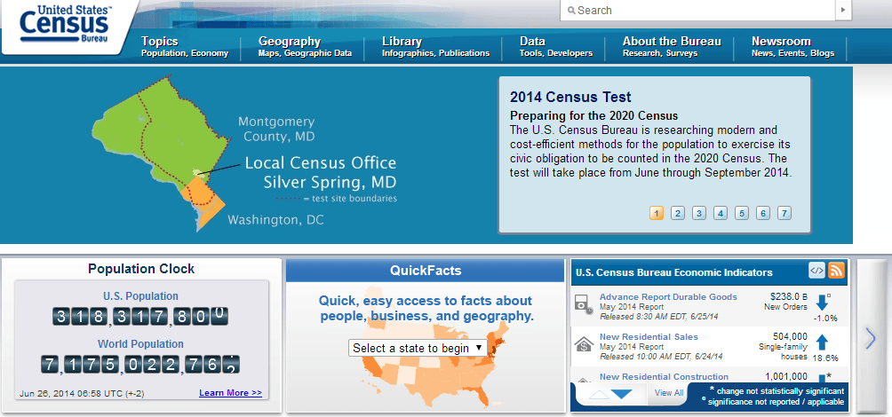
Not long ago I was tasked with finding out how many people live within an arbitrary polygon. In this particular case, the polygon represented the portion of the…
Not long ago I was tasked with finding out how many people live within an arbitrary polygon. In this particular case, the polygon represented the portion of the…
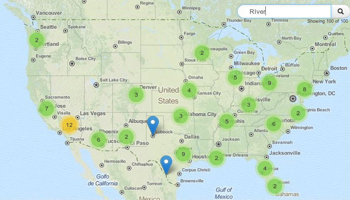
When it comes to certain tasks the usage of leaflet can be tricky. Of course it claims not to be the ultimate webmapping solution but one of the…
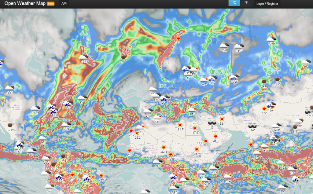
It’s snowing here in Berlin. And I already thought, that we wouldn’t have any white color out there before Christmas Eve. In order to check the weather forecast…

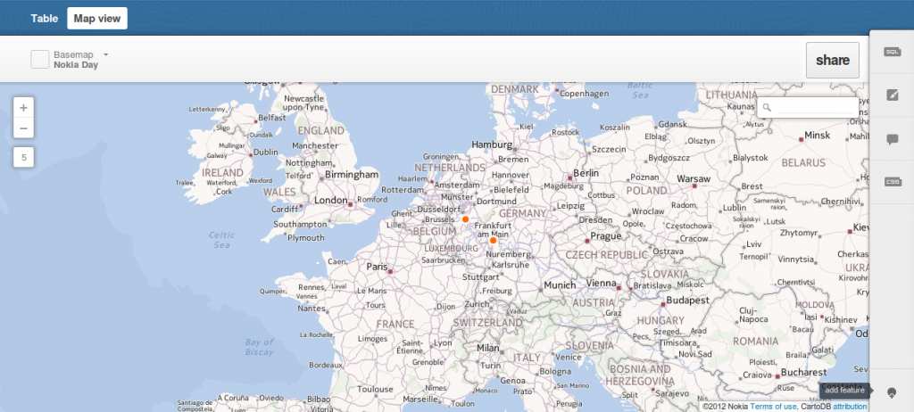
Dear folks, most of you probably know how to map things using software on your pc. Some of you might also know cartoDB. We like their service as…
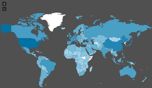
Today I stumbled upon a “map” on Spiegel Online ( an import news page in Germany ) which shows the spied countries of the NSA. As we already…
In a recent post I’ve described a way to geocode in a Google Spreadsheet quite easily. Now let’s move a little bit away from this crazy web 2.0…

Thanks to a comment on our facebook page: Due to the conflict in state finances in the U,S and A gesocientists are affected: data providers like the USGS…
We have already introduced cartoDB which is a platform for storing, administering and visualizing spatial data. One straight feature of cartoDB is the usage of GeoJSON for exporting…