ArcGIS tutorial 1: how to georeference a map
ArcGIS is a geographic-information-system (GIS) developed by ESRI. Being widely used and the sheer amount of functions and add-ons are maybe the important causes for being a big-player…
ArcGIS is a geographic-information-system (GIS) developed by ESRI. Being widely used and the sheer amount of functions and add-ons are maybe the important causes for being a big-player…
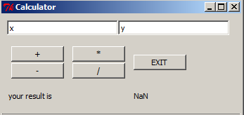
Due to an upcoming presentation about “what is R” and “what can I do with R” in my company I was playing around with GUIs as they are…
Due to our recent merge of geo-works.de and geo-affine.org we asked ourselves: Wouldn’t it be great to have a view of the origin of visitors of the blog?…