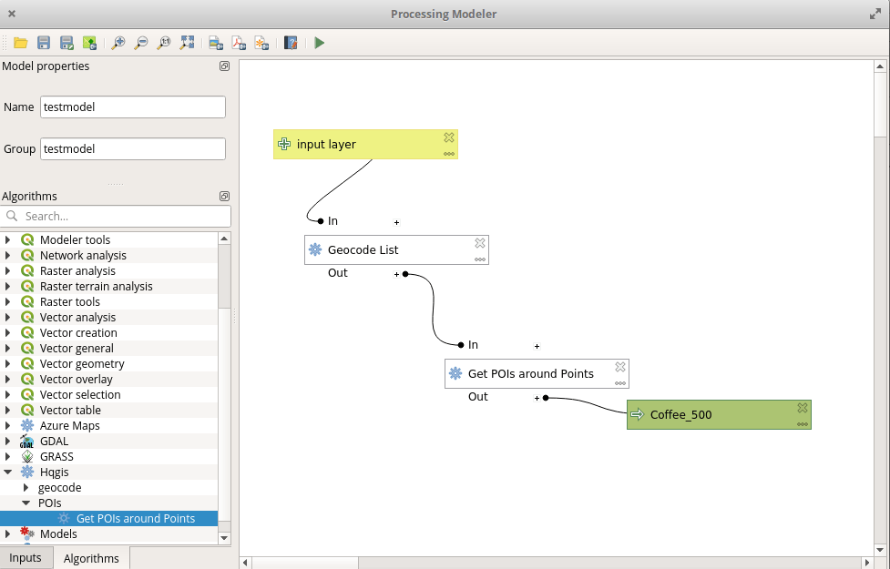
Most of GIS users today will probably work with ArcGIS. Since version 10 the implementation / integration of Python into the ArcGIS framework and ArcPy it’s important for…
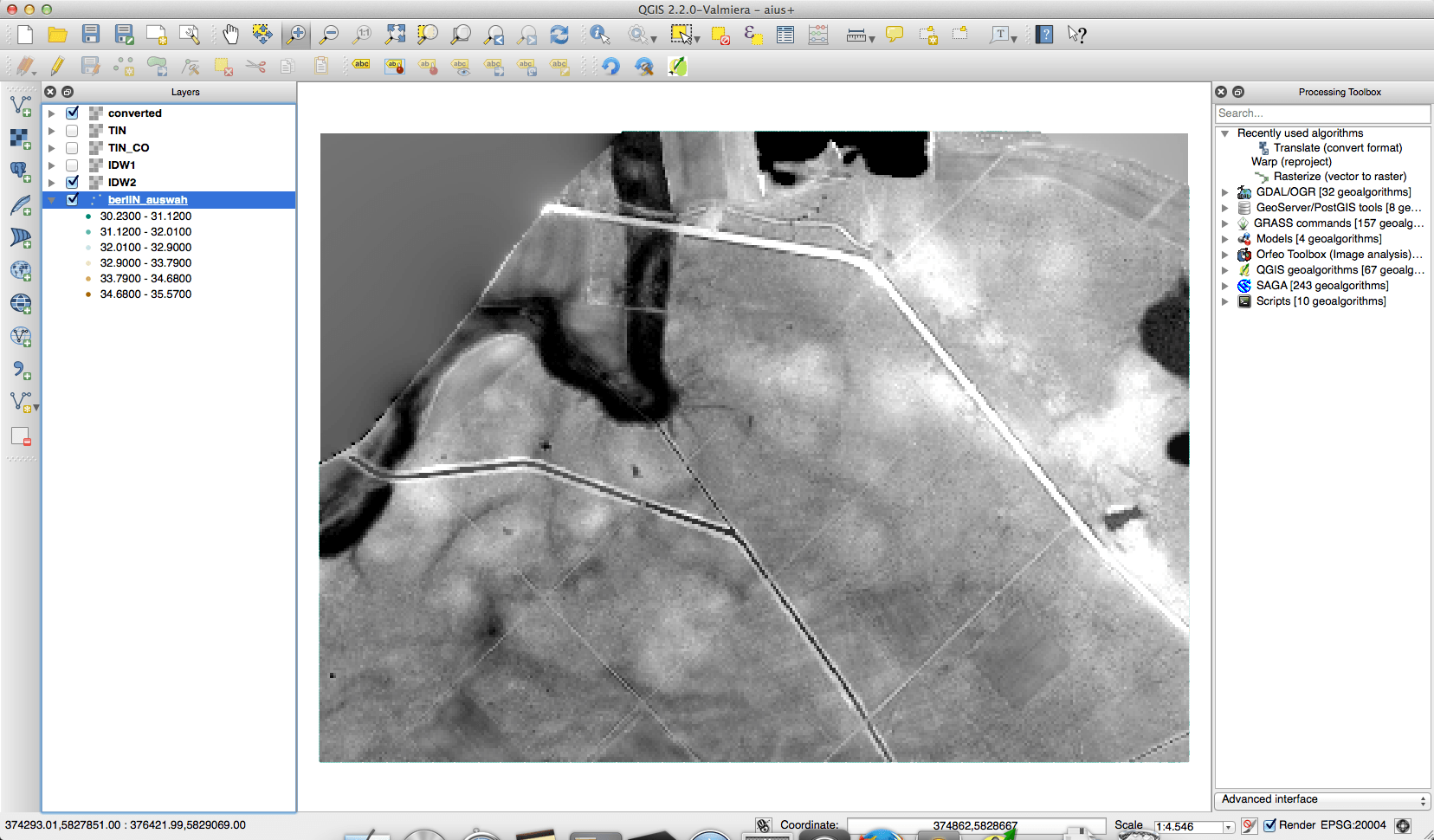
The geodata department of the city of Berlin offers a great portfolio of free geodata for everyone to use. One dataset is the result of some LIDAR measurements…