cartoDB and Leaflet: consuming the table or part two
In our first post we concentrated on the creation of a table in leaflet and simple ways to administer our data and to embed the map in a…
In our first post we concentrated on the creation of a table in leaflet and simple ways to administer our data and to embed the map in a…
We have already introduced cartoDB which is a platform for storing, administering and visualizing spatial data. One straight feature of cartoDB is the usage of GeoJSON for exporting…
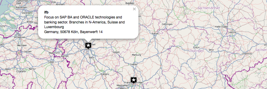
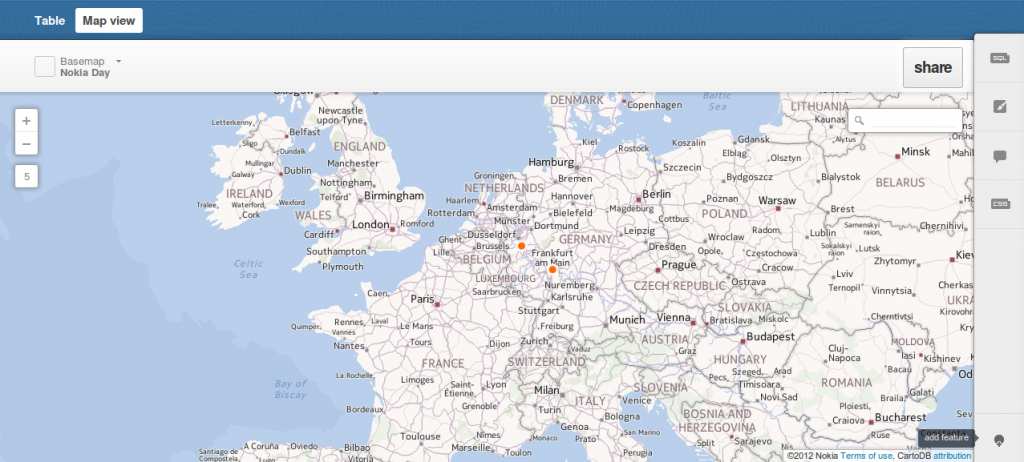
As we are running several projects besides this blog we ran across CartoDB. CartoDB is more or less a nice GUI that serves you either a table of…
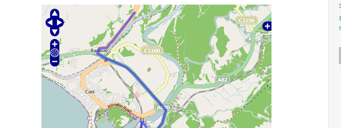
For an upcoming project I was curious about visualizing a line layer using OpenLayers. Therefore I digitized a way with googlemaps. After creating a kml with “my places”…