Playing Around With ArcPY…
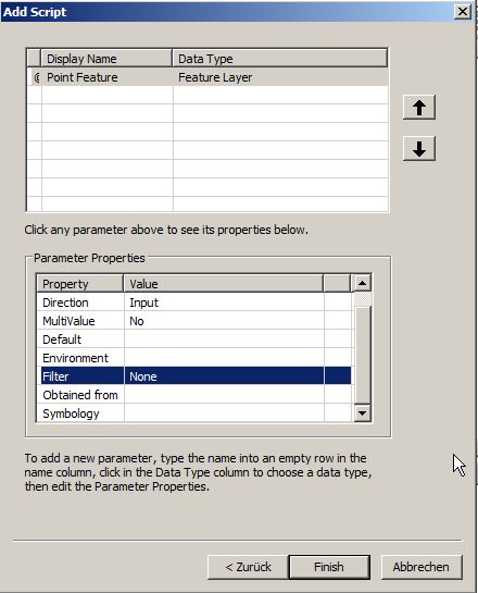
I was playing around with ArcPY and tried to recreate a version of the qgis2leaf plugin just for ArcGIS just to get to know that ArcGIS doesn’t seem…
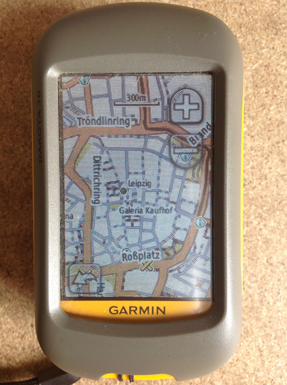
Since most people working with digital-data they are always interested in obtaining their own data using a Global Positioning System (GPS). Therefore I’ll give a short introduction for all…
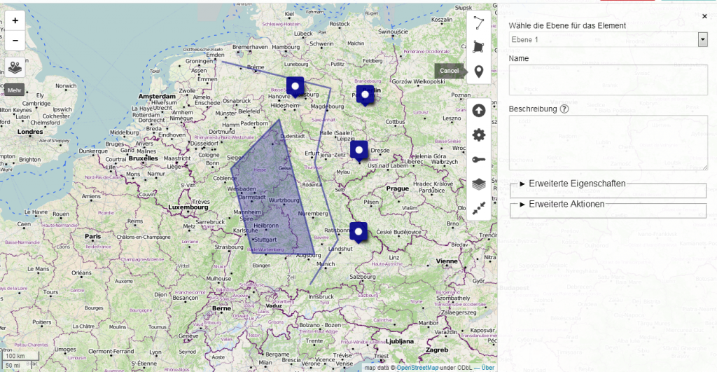
Creating maps is the most appropriate way to present spatial data. In the last years several methods appeared to generate such webmaps. Based on a tile-layer, wich contains…