QGIS Plugins — OpenLayers
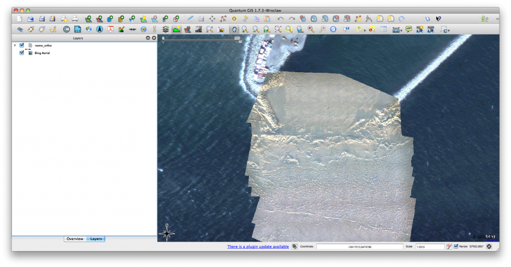
Click for previous article in this series about RasterCalc How often have you been working on a project in QGIS and wanted some nice background imagery, perhaps for…

Click for previous article in this series about RasterCalc How often have you been working on a project in QGIS and wanted some nice background imagery, perhaps for…

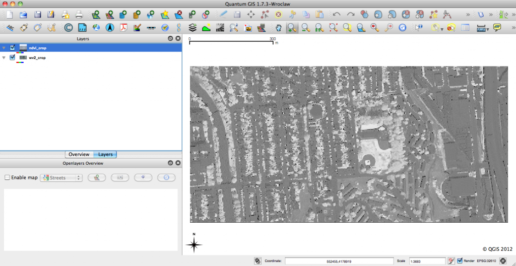
RasterCalc QGIS Plug-in QGIS is an open-source geographic information system that is familiar to many geospatial professionals. I find more and more that I’m able to use QGIS…
Reading Geospatial Files In the last post in this thread I provided a bit of background and some simple instructions for installing python and the necessary modules for…

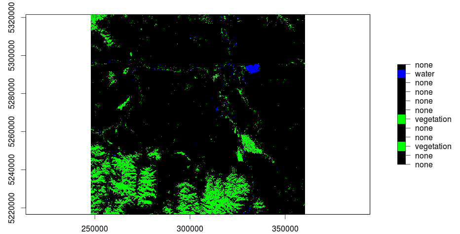
Thank’s to Andrej who wrote this comment: “Is it possible to to color the resulting 12 clusters within your original image to get a feel for visual separation?”…
The main question when using remote sensed raster data, as we do, is the question of NaN-treatment. Many R functions are able to use an option like rm.NaN=TRUE…

In my last post I was explaining the usage of QGis to do a layerstack of a Landsat-scene. Due to the fact that further research and trying out…