cartoDB and Leaflet: creating the table or part one
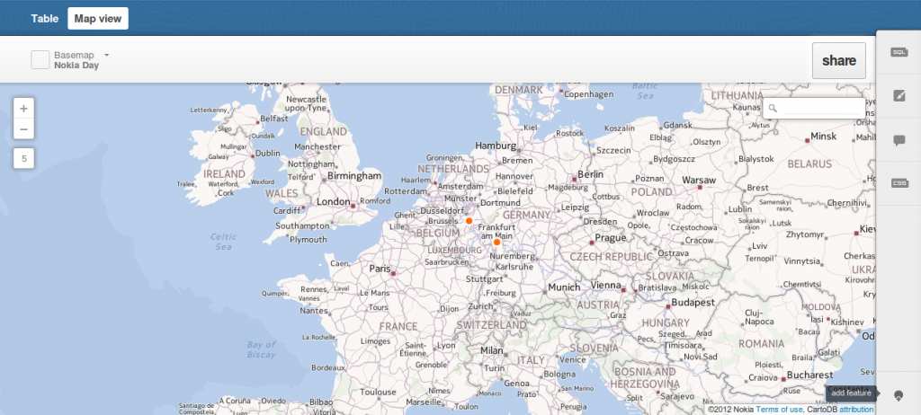
We have already introduced cartoDB which is a platform for storing, administering and visualizing spatial data. One straight feature of cartoDB is the usage of GeoJSON for exporting…
We have already introduced cartoDB which is a platform for storing, administering and visualizing spatial data. One straight feature of cartoDB is the usage of GeoJSON for exporting…
Most GIS-users I know don’t use Geodatabases. But as your project may grow, participation and co-working gets more and more usual in your projects and you would like…