Convert shapefiles to geoJSON via web interface
I just found a nice web interface for converting Shapefiles to geoJSON, the preferred format of vector geodata on the web. And yes, you can also convert back…
I just found a nice web interface for converting Shapefiles to geoJSON, the preferred format of vector geodata on the web. And yes, you can also convert back…
The time when I studied Geography and Mathematics is long ago. So I chose Cartography as one major part of my studies and learned to draw circles and…
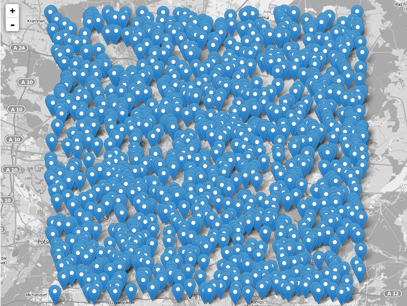
The leaflet API is very simple and tries to deliver best performance and style for commonly used features like tilelayers, points and lines and markers in general. So…
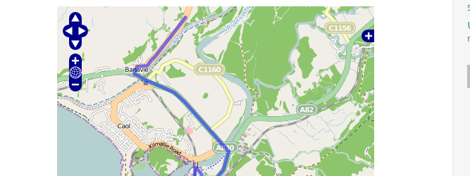
Thanks to the Twitterline of @directionsmag I’ve seen this new beautiful tiled WMS: OSM roads (new)
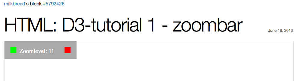
Since a while I am programming with the JavaScript library D3.js … and … I am addicted to it! As I would like to present some tutorials on…
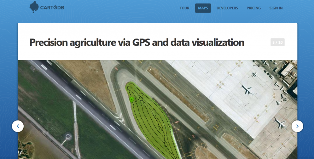
As we are running several projects besides this blog we ran across CartoDB. CartoDB is more or less a nice GUI that serves you either a table of…
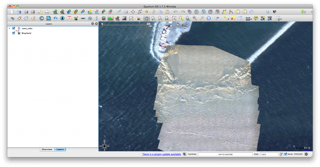
Click for previous article in this series about RasterCalc How often have you been working on a project in QGIS and wanted some nice background imagery, perhaps for…
For an upcoming project I was curious about visualizing a line layer using OpenLayers. Therefore I digitized a way with googlemaps. After creating a kml with “my places”…
In the first two parts in our series on “getting to know openlayers” we concentrated on the question on layer consumption in form of basemaps and labels. We…
In my recent articles I was writing some hints and tutorials for creating a webmap. So what is the basic concept behind it and what are the possibilities.…
In the last tutorial we have created a very basic web-map using OpenLayers and one web-mapping service from OpenLayers itself. In fact using OpenLayers seems to me like…
Since we have managed to get a very simple web-map running on our website, it may be a need for some persons to distribute their own shapefiles using…