CartoDB or how to administer and consume your spatial data easily
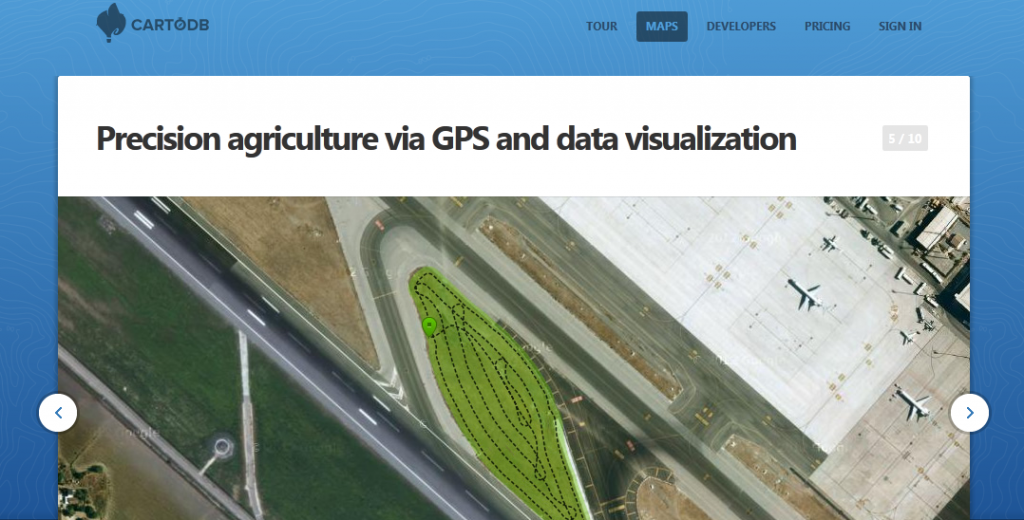
As we are running several projects besides this blog we ran across CartoDB. CartoDB is more or less a nice GUI that serves you either a table of…
As we are running several projects besides this blog we ran across CartoDB. CartoDB is more or less a nice GUI that serves you either a table of…
Behind this heading a real highlight is waiting. The European Environment Agency offers a massive amount of interesting datasets touching different themes of europe and the world. Additional…
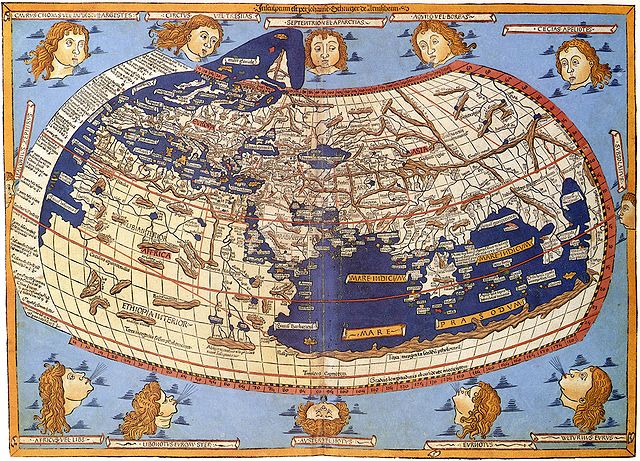
Map Projections The question of map projections and how to reproject data is one that comes up often in discussions with both experienced colleagues and those new to…
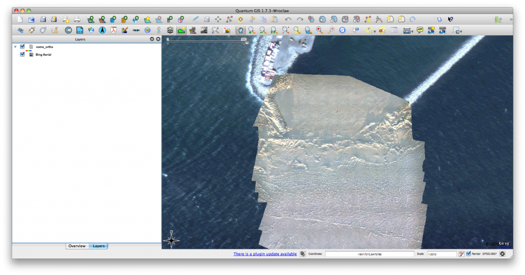
Click for previous article in this series about RasterCalc How often have you been working on a project in QGIS and wanted some nice background imagery, perhaps for…
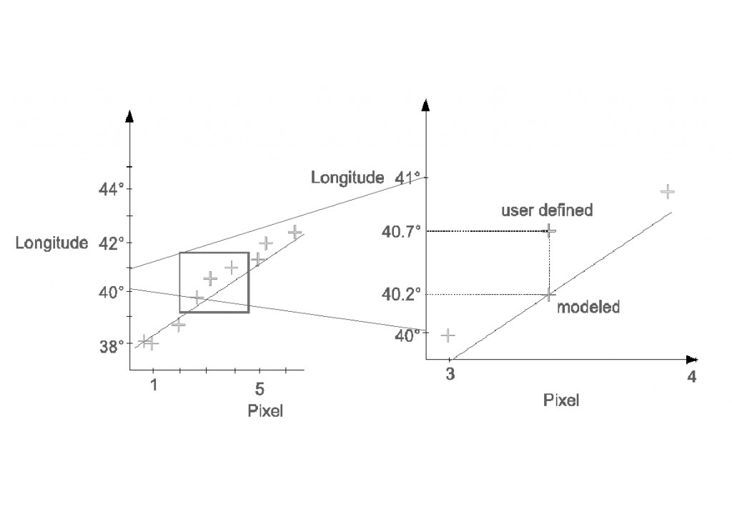
In this tutorial I’ll show you, how to georeference a map using the open source software QGis. You can easily download and install QGis from the following Source: QGIS…
ArcGIS is a geographic-information-system (GIS) developed by ESRI. Being widely used and the sheer amount of functions and add-ons are maybe the important causes for being a big-player…
Due to our recent merge of geo-works.de and geo-affine.org we asked ourselves: Wouldn’t it be great to have a view of the origin of visitors of the blog?…
In the last tutorial we have created a very basic web-map using OpenLayers and one web-mapping service from OpenLayers itself. In fact using OpenLayers seems to me like…
Since we have managed to get a very simple web-map running on our website, it may be a need for some persons to distribute their own shapefiles using…
I think there are pleanty of companies which store customer informations in some sort of a database or even in a plain excel-sheet to stay a little organized…
“Spatial data is, quite literally, everwhere” (Barry Rowlingson) this is so true! And because of that you guys will have the chance to take part in a great…