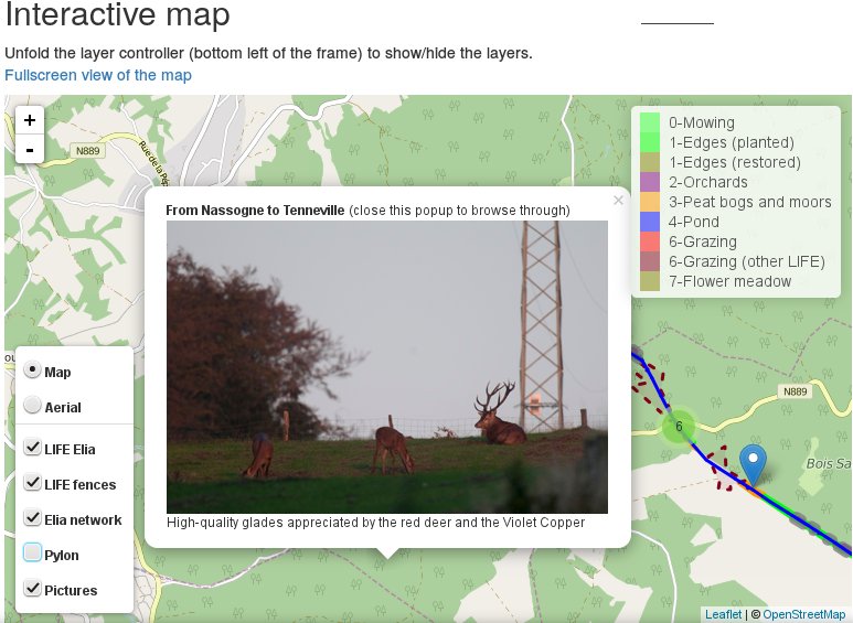
Combinig QGIS and leaflet to visualize an area with pictures
The goal of this post is to explain, based on practical examples from my professional activities, how I use QGIS, its plugin photo2Shape and the processing toolbox, together…
The goal of this post is to explain, based on practical examples from my professional activities, how I use QGIS, its plugin photo2Shape and the processing toolbox, together…
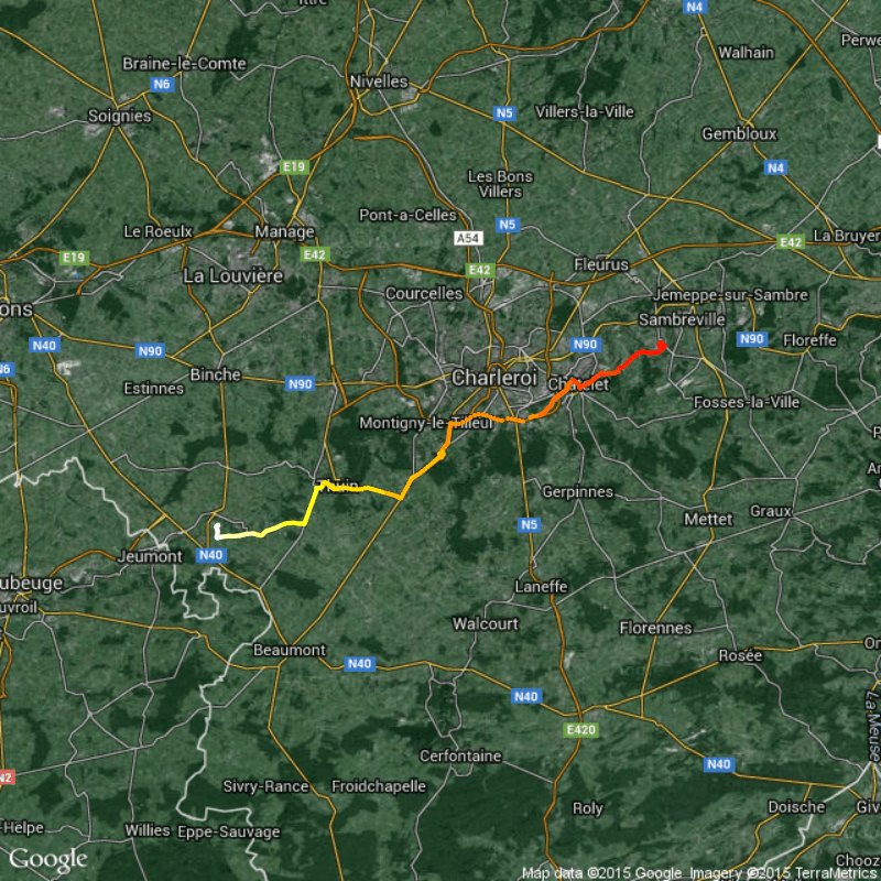
Why GPX? For what? It's convenient to record tracks of your hiking/field trips with the GPS of your smartphone, tablet or just GPS as .gpx files. You can…
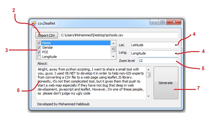
Alright, away from python scripting, I want to share a small tool CSV to HTML 101 with you, guys. I used VB.NET to develop it in order to help…
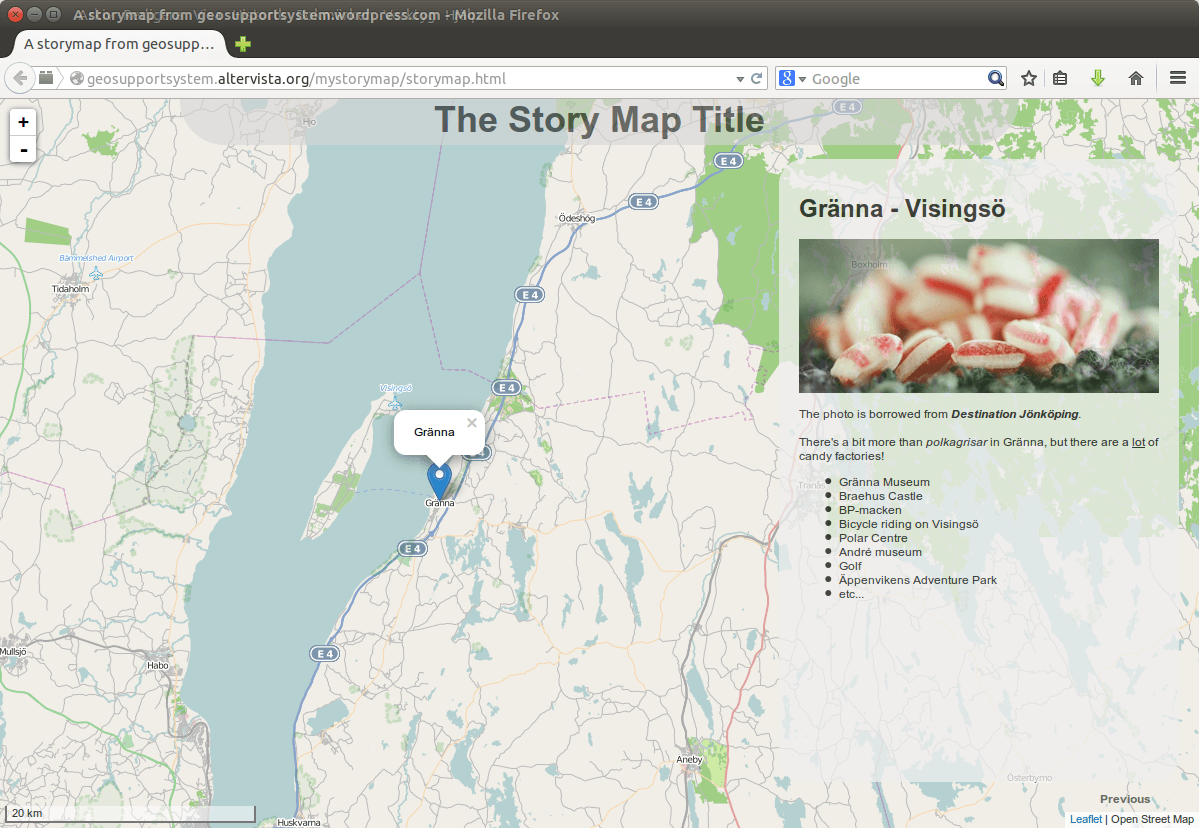
Have you seen “the story maps” created on the ESRI website (http://storymaps.arcgis.com) or for that matter from http://storymap.knightlab.com/ or http://mapstory.org/. They are all frameworks for you to create…
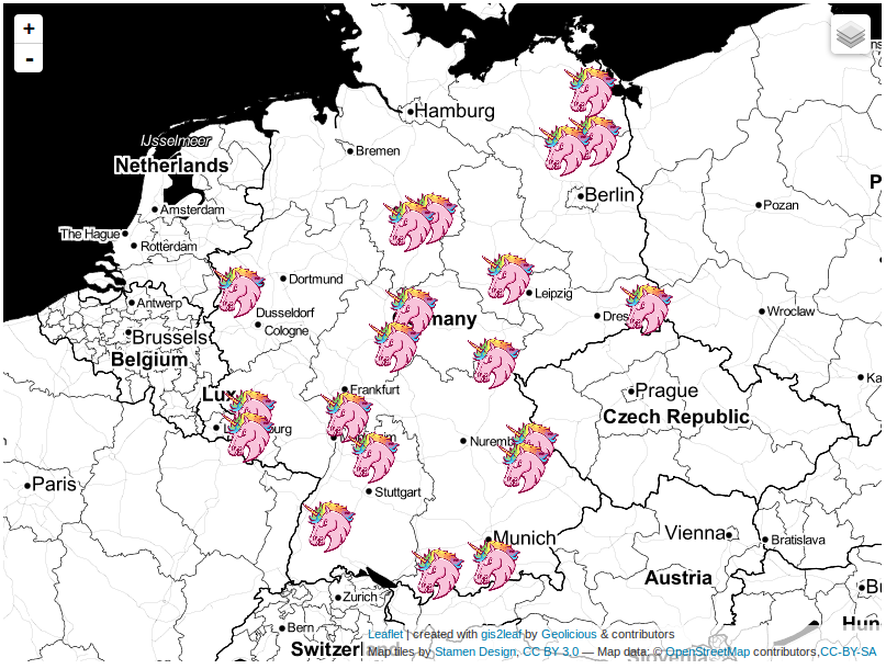
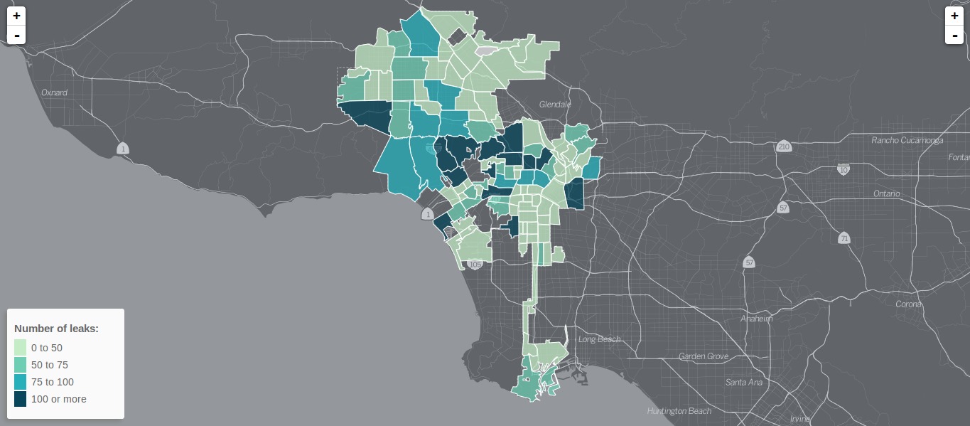
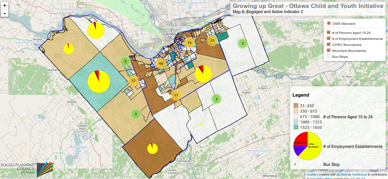
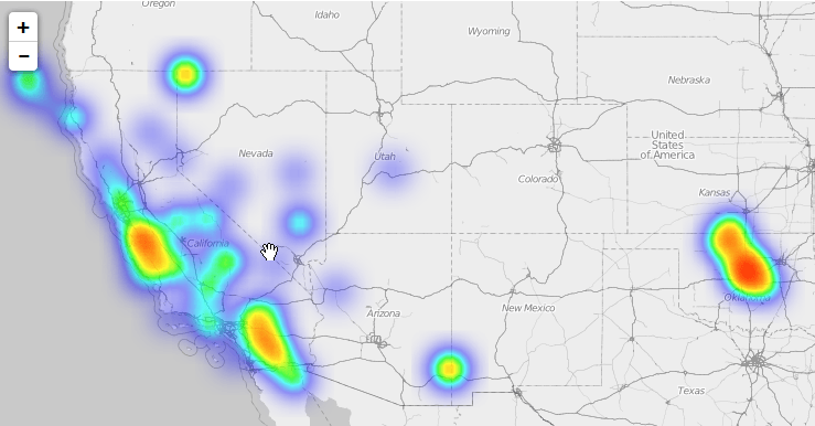
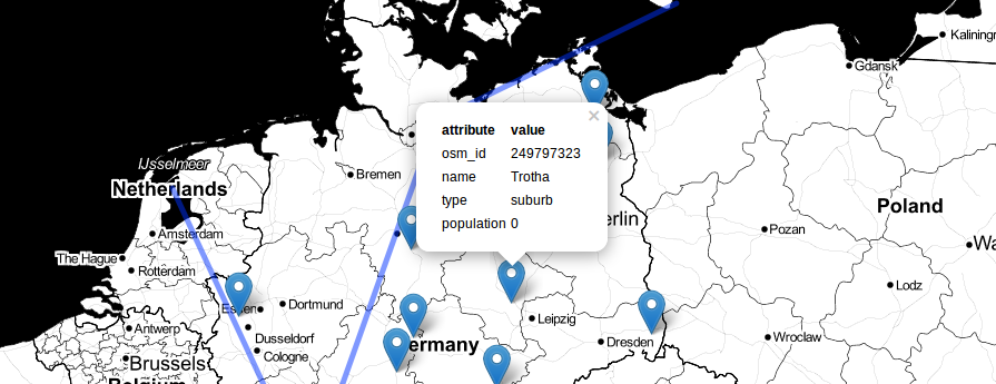
The last post about our famous qgis2leaf plugin showed a glimpse of what it is capable of: exporting all your features from a QGIS project to a working…
It was just a small idea but I haven’t slept much since it came to my mind to build a plugin fo QGIS. It should create a basic…