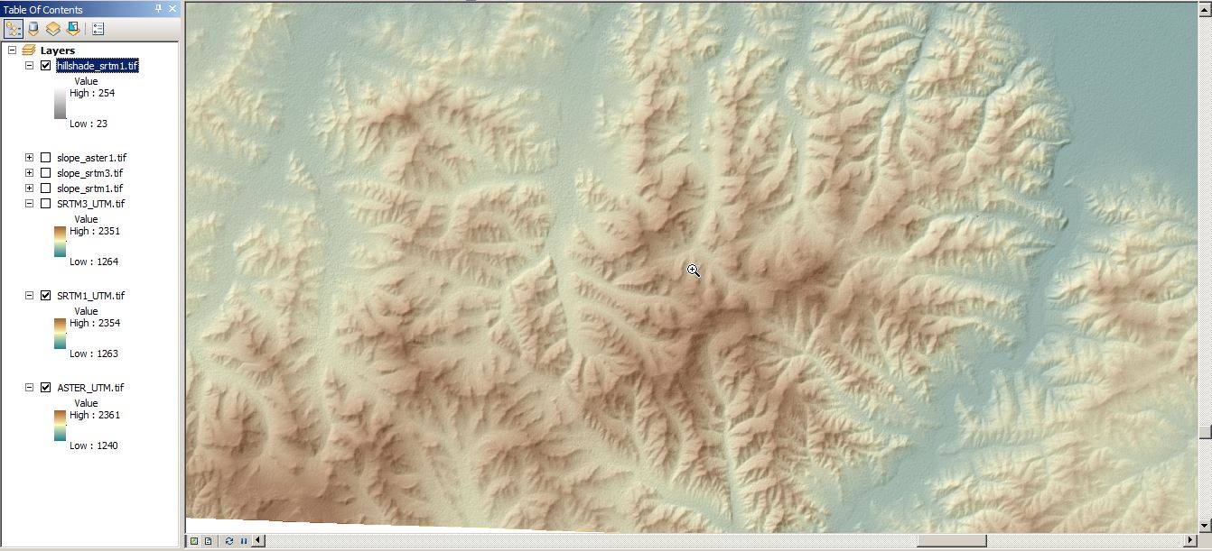
Short Announcement: “Quality Check” on SRTM1
Well, I was expecting this. Damn, those new SRTM1 raster files provided via EarthExplorer by the USGS are sweet. You can download them right away just by creating…
We love leaflet. In fact we have done some great projects with this nice little piece of code like our job-map. As I’ve checked the news from leaflet:…
In this tutorial I would like to show you, how to create a topographic map and analyse topographical data using freely available SRTM data and QGIS including some…
So, we all know how a topographical map looks like. On a topographic map, we see different objects, which are indicated by different symbols. For example, we see…