regular spaced points… interpolation madness…
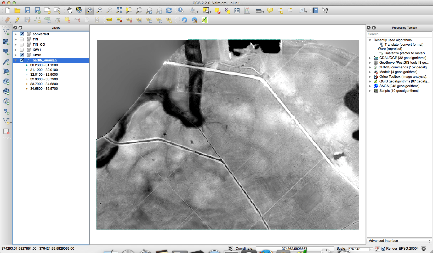
The geodata department of the city of Berlin offers a great portfolio of free geodata for everyone to use. One dataset is the result of some LIDAR measurements…
We will go straight to the main part of the problem:how to communicate, where you are. Sometimes it is as easy as “one, two, three” but most likely…