SciPy integration in ArcGIS
Most of GIS users today will probably work with ArcGIS. Since version 10 the implementation / integration of Python into the ArcGIS framework and ArcPy it’s important for…

At least for Linux…[update: and Windows!] For Windows and Mac it’s just a question of time…

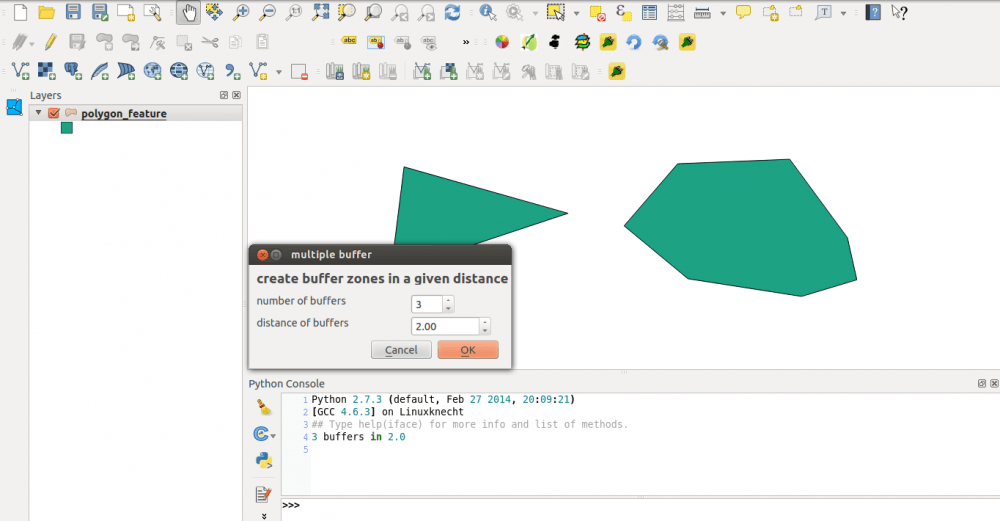
The release of QGIS 2.6 is planned for October 24, but you don’t have to wait to test new functions in development. In this post I’ll look closer…


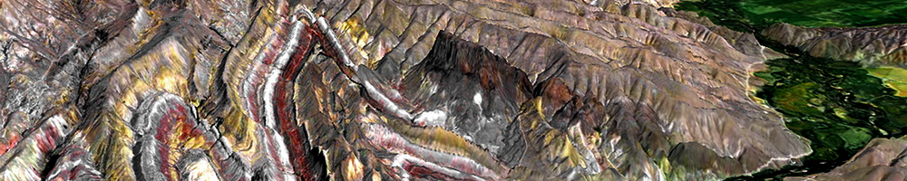
Since I’m working mostly with GIS and Geodata for Physical Geography (Soils, Geomorphology, Climate) I came across a very precise and recommendable Blog by Skye Cooley which I…
Since I’ve created the QGIS plugin qgis2leaf I was surprised how easy it is to create a plugin for QGIS. In this post I would like to show…
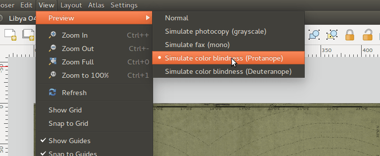
I have been busy working on new post based on performing geospatial analysis in QGIS, but I had to take a quick detour on this topic to talk…
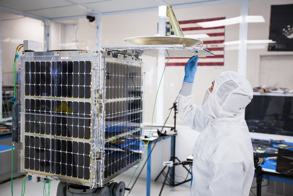
So I have been hearing rumors for a few weeks now that Google is trying to close a deal to buy Skybox Imaging (TechCrunch, May 23, 2014) and…