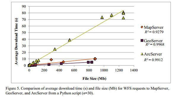
ArcGIS server vs. Open Source GIS solutions
originally posted from our friends @mappinggis Which program is better suited to serve geographic data on the web? ArcGIS Server form ESRI or open source ? This question is common in mailing lists…
Yes it is Possible Actually its not that difficult to design a vintage themed map. While I worked at the Library of Congress the person who held the…

The last week one headline hit the floor of some GIS-blogs in the US: Jack Dangermond, the founder of GIS -ahm I mean ESRI- pledged about $1 billion…
Today I’ll start with a new series of tutorials for an open Source GIS called “ILWIS GIS“. ILWIS is the short term for “Integrated Land and Water Information System”…
The undercover GIS queen “Underdark” a.k.a. Anita Graser came up with this headline today and we had seen some little insight in the upcoming QGIS release already. So…
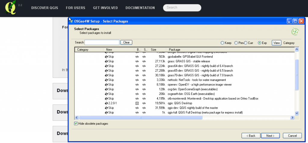
Today QGIS 2.0 was officially released and we will come up with several tutorials in the next weeks. First of all: the installation. As we are fans of…
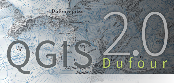
Times are changing and so should a GIS. Since a long time there was the announcement to release QGIS 2.0 to the public by June. But as there…
A lot of you out there are probably working on Windows Systems using ArcGIS and I have to admit that the possibilities with ArcINFO in the background and…
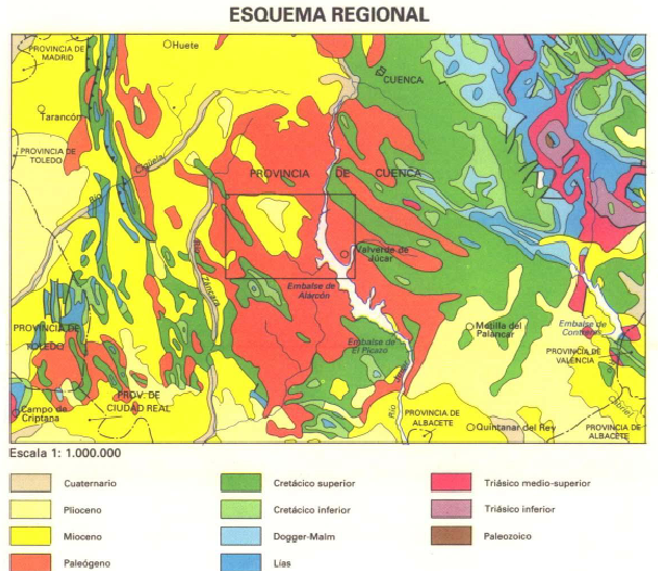
Christoph already wrote an article about “How to find geospatial data for Spain” and also mentioned the IGME page but thanks to Mr. Nölte from the Dechenhöhle in…
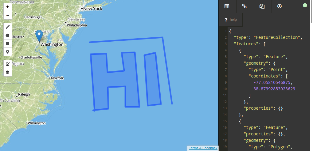
The web is built upon a small set of languages that are present everywhere. Besides HTML, Javascript is the most common technology around here. So it is not…

One hot topic on this year User Conference from ESRI in San Diego was the upcomming release of 10.2: Tweets über “#arcgis #esriuc” Until now the ESRI ArcGIS…
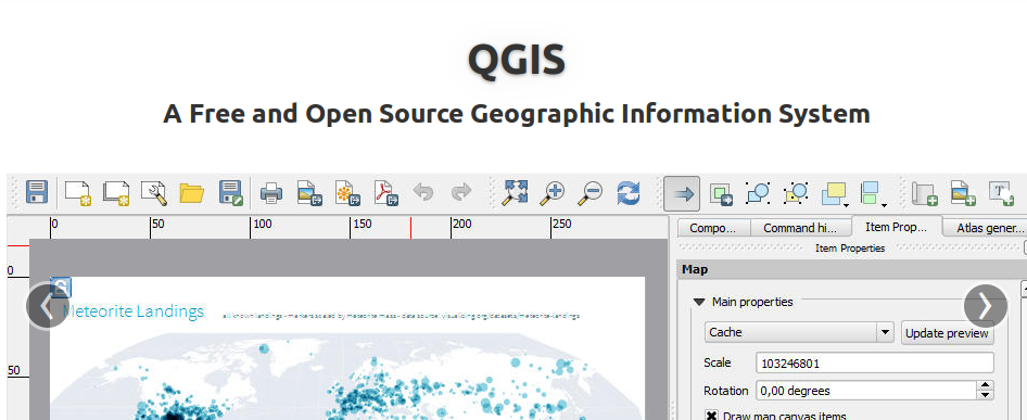
In our last session we started with some topographic “pre”-map as we prepared everything to create a printable map with QGIS which shows heights in a special area.…